 |
 |
Haute Route - Hiking From Gasenried to Europa Hut
The weather was supposed to improve. From the view outside the window of the hotel, conditions, didn’t appear much better.
We had a feast for breakfast. It was the first buffet to include fresh eggs. The plan for the day was to head past the Europa
Hut and continue on to Taschalp, a cabin three hours farther. That would give us another half day in Zermatt to work on our
other photo project, One Dress, One Woman, One World. The problem was with the fog bowl outside we wouldn’t see squat
along the way. We called Europa Hut to see if we could change our reservation and they said they were booked other than
emergency space. So we were in for a long and unrewarding day.
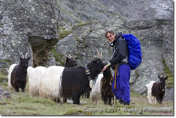
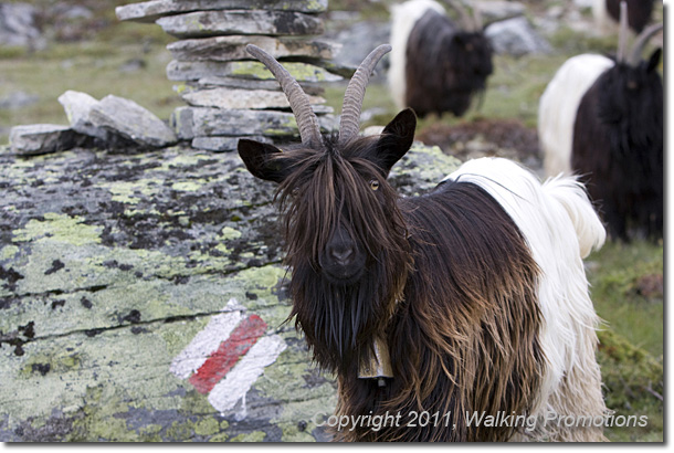
After working our way around the herd, we approached the statue of St. Bernard. Who knew the lovable liquor-toting dog’s name was based upon a real person? After a quick photo stop with the Saint, we headed up and around to the “Boulder Highway.”


We would stay on this for some time, intermittently crossing dangerous avalanche zones where we had to move quickly. When we hit the first avalanche zone I sent Jennifer ahead and followed five minutes behind for safety. As I was crossing, my GPS popped off my belt and fell into the dark abyss between the boulders. I exclaimed loudly, “Fuck!” and then quickly realized Jennifer would think I fell and yelled back that I was “OK.” Unfortunately, Jennifer only heard the curse and then silence. I heard nothing of the ten or so calls Jennifer made to me, until finally I heard a frantic scream to see if I was OK. I yelled back that I was, and pulled out my head lamp to see if I could find the GPS. The light disappeared into the black hole. I accessed my options, which were few. The boulders weren’t going to get out of the way and decided I had to leave it. Where is Fred Flintstone when you need him! I begrudgingly said goodbye to my trusty friend, which had all the unbacked up data for every step of the Haute Route on it. Of all my trips I felt this data was among the most valuable. The elevations and distances in the book were dead wrong. They had a complete lack of granularity that affected one’s ability to determine their location.
The story continues...
